Ray & Gilliland, P.C.
We are comprised of highly skilled and qualified individuals to complete your land surveying projects.
Our Services
Laser Scanning Surveying
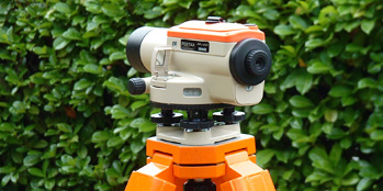
3D Laser Surveying Or High-Definition Surveying, This Type Of Surveying Which Will Become The Norm In The Future And Can Be Delivered To You
Read MoreDigital Terrain Modeling
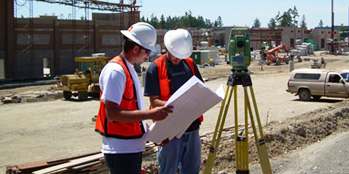
Digital Terrain Modeling (DTM), Also Known As Digital Elevation Modeling, Is The Practice Of Creating A Digital Representation Of Ground Topography And Terrain
Read MoreLease Area Expansions

Highly Trained And Knowledgeable Of Local, State And Federal Regulations With Regard To Cell Towers And Lease Area Expansions And Exceed Your Expectations
Read MoreExpertise In Laser Scanning Surveying
We Provide A Full Laser Scanning Solution From Data Capture To Modelling And Visualisation With Bim. Our Surveyors Utilise State Of The Art Technology To Customise Deliverables, Cannibalising The Surveys Methods In The Foreseeable Future. In Modern Engineering, The Term Laser Scanning Is Used With Two Related, But Separate Meanings. The First, More General, Meaning Is The Controlled Deflection Of Laser Beams, Visible Or Invisible. Scanned Laser Beams Are Used In Some 3-d Printers, In Rapid Prototyping, In Machines For Material Processing
Read More
